Find any US tract. Then see everything on it.
Convert any township and range (PLSS) or Texas legal description to GPS coordinates in seconds. Then pull the wells, leases, pipelines, soils, and crop history on that exact tract. 30+ states and all 254 Texas counties.
Then layer on the data that matters
Township America started as a PLSS and Texas legal-description converter. Now it adds the oil & gas, federal-land, farmland soil, and Texas state data tied to the exact section or abstract you looked up. Each pack stacks on Pro or Business.
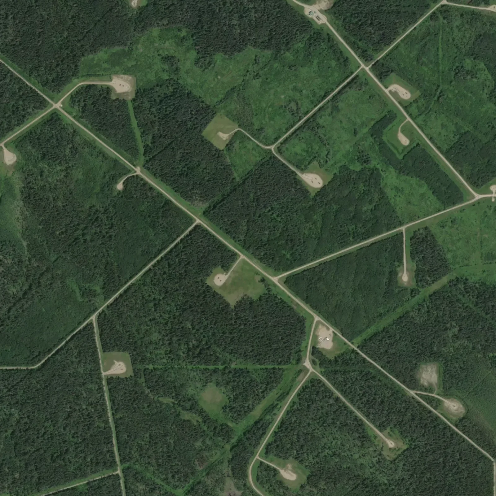
Energy infrastructure
Federal + producing-state oil & gas, tied to the parcel.
- Wells: HIFLD + CO / ND / OK / WY / NM
- HIFLD & Texas RRC pipelines
- BLM federal leases + ONRR royalty
- Operators, orphaned wells, FracFocus
- Sage-grouse, solar & wind siting
Federal land diligence
A 15-layer pre-screen: flood, habitat, soils, and crop history.
- FEMA flood + USFWS wetlands
- NRCS soils + USDA crop history
- USFS wildfire risk + critical habitat
- BLM surface, mining, rights-of-way
- Nearby parks & protected areas
Texas RRC + GLO data
Texas runs on abstracts, not townships. We map both.
- 1M+ RRC wells + drilling permits
- RRC pipelines + lease production
- GLO leases, PSF & state-agency lands
- Coastal erosion + flood hazard
- Abstract / block / survey search
Chat with the in-app assistant or wire up your agent via the MCP server.
Capabilities
Convert, map, and export legal land descriptions
Convert PLSS locations one at a time or in bulk, view results on satellite imagery, export to GIS formats, and integrate with our REST API.
Batch Conversion
Convert thousands of legal land descriptions in seconds
Convert thousands of legal land descriptions to latitude and longitude and vice versa in seconds with our efficient batch conversion tool.
Easy API Integration
Integrate our APIs into your applications
Integrate our fast, easy-to-use APIs into your applications to create delightful experiences for your users.
Interactive Maps
High-resolution satellite imagery and topographic maps
Visualize and explore locations with high-resolution satellite imagery and topographic maps using our interactive maps.
Export Formats
Take your data anywhere
Export results to CSV, KML, Shapefile, GeoJSON, DXF, or PDF for use in QGIS, ArcGIS, and CAD workflows.
Simple Pricing
Transparent and cost-effective
Enjoy transparent and cost-effective pricing options that suit your needs and budget. No hidden fees or surprises.
Every layer on the tract, in one document
Fifteen federal layers plus Texas state overlays, composed onto a single PLSS section or OTLS abstract. Surface ownership, mineral estate, flood hazard, critical habitat, wildfire risk, soils, and crop history in one structured document.
- Coverage
- 30+ PLSS states · all 254 TX counties
- Sources
- BLM · FEMA · USFWS · USFS · NRCS · USGS · USDA · TX GLO · RRC
- Refresh
- Weekly ETL · quarterly bulk
- 01FederalBLM SurfaceRawlins Field Office
- 02ProducingOil & Gas LeaseBLM MLRS · WYW-176421
- 03X · MinimalFlood ZoneFEMA NFHL
- 043–6% slopeSoilsNRCS SSURGO · Forelle loam
- 05Burn p 0.001Wildfire RiskUSFS WRC
Every US land description, decoded
PLSS sections across 30+ states. Texas TXSS abstracts across all 254 counties. One resolver, one API, both systems.
Abstract, Block & Section, Survey-name. All three.
Texas runs on its own land system: abstracts, surveys, leagues, labors. Township America converts every TXSS shape alongside PLSS. Permian Basin, East Texas, and the Coastal Bend work the same way Wyoming does.
A-123 Reeves County, TX Block 5, Sec 14, T&P Survey, Reeves John Smith Survey, Bexar County Join thousands who've simplified their land research
See why teams across America's key industries rely on Township America every day.
"Township America has transformed how our team handles land data. What used to take hours of manual conversion now happens in seconds."
"During seeding season, every minute counts. Being able to instantly convert legal descriptions to GPS coordinates helps us plan field operations efficiently."
"Accurate land identification is critical for crop insurance claims. Township America gives us confidence that we're assessing the right parcels every time."
"When clients ask about rural properties, I can instantly show them the exact location on a map. It's become an essential tool for our land sales team."
Simple pricing for every need
Plans for solo professionals and teams. Upgrade anytime.
Starter
For occasional use and exploration.
- 100 searches per month
- Convert PLSS + Texas Abstract/Block/Survey grids, coordinates, addresses
- Street maps
- Measurement tool
- Turn-by-turn directions
- 1 project, 20 quick saves
- AI Assistant: 30 msgs/day, search + directions
- Mobile app included (iOS & Android)
Pro
For professionals and consultants.
- Everything in Starter, plus:
- Unlimited searches
- HD satellite imagery
- Built-in map overlays: O&G Wells (national), Water Rights, BLM Mining Claims, Federal Land
- Draw property boundaries: corners, coordinates, area & perimeter
- PDF export
- 10 optimized routes/month
- 5 projects, 100 quick saves
- AI Assistant: 200 msgs/day, all tools
- Mobile app included (iOS & Android)
Business
For power users and growing operations.
- Everything in Pro, plus:
- Unlimited batch conversion + CSV upload
- All exports: CSV, KML, Shapefile, GeoJSON, DXF
- MCP server + AI agent integration
- Mobile app included
- Team management, RBAC & SSO
- Unlimited projects, quick saves & routes
- Priority support, SLA
- AI Assistant: unlimited, priority response
- Unlimited seats when you need them
Need API access? View API pricing →
Frequently asked questions
- What is a legal land description?
- A legal land description identifies a specific parcel of land using the Public Land Survey System (PLSS). It references a principal meridian, township, range, and section. For example, NENE 25 5N 30E Mount Diablo Meridian. This notation pinpoints a 40-acre quarter-quarter section in the survey grid.
- How do I convert a legal description to GPS coordinates?
- Use a legal land converter tool like Township America. Enter your section, township, range, and meridian, and the tool will calculate the latitude and longitude coordinates for that location.
- How big is a township?
- A township is 6 miles by 6 miles, or 36 square miles (about 23,040 acres). It contains 36 sections, each one square mile (640 acres). Sections are further divided into quarter sections of 160 acres and quarter-quarter sections of 40 acres.
- What states use the township and range system?
- Approximately 30 states use the PLSS township and range system, primarily states west of the Mississippi River plus Alabama, Florida, Illinois, Indiana, Michigan, Mississippi, Ohio, and Wisconsin.
- What is the difference between metes and bounds and township and range?
- Metes and bounds describes land using physical features and compass directions (common in the original 13 colonies). Township and range uses a rectangular grid of townships, ranges, and sections measured from principal meridians, the system used across 30 states west of the Appalachians.
- How do I read a township and range description?
- A description like NENE 25 5N 30E Mount Diablo Meridian means Northeast Quarter of the Northeast Quarter, Section 25, Township 5 North, Range 30 East, referenced from the Mount Diablo Meridian. Township indicates the north-south row, Range the east-west column, Section the specific square mile, and the quarter-quarter narrows it to 40 acres.
Start converting legal land descriptions today.
Convert township, range, and section to GPS coordinates, individually or in bulk. Used by land professionals in oil and gas, surveying, real estate, agriculture, and insurance.
Get started today